Maritime Traffic Monitoring Satellite Launched

A probe that is being touted as the “highest detection performance commercial Automatic Identification System (AIS) satellite ever built” was successfully launched into a sun-synchronous polar orbit on Sunday, the UK firm that designed and assembled the craft has announced.
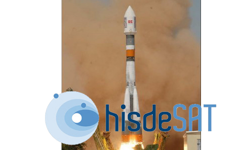
In a July 22 statement, Guilford-based Surrey Satellite Technology Limited (SSTL) confirmed that the exactView-1 satellite lifted off from Baikonur Cosmodrome in Kazakhstan at UTC 06:41:39.
Carried onboard a Soyuz rocket, the 100kg exactView-1 was lifted to an orbit of 800km, where it will provide near real-time AIS data on the location, speed, and routes of ships travelling throughout the world’s oceans.
The exactView-1 probe “is based on the SSTL-100 platform and has been adapted for the exactEarth mission with an additional deployable solar panel providing extra power for the COM DEV AIS receiver payload,” the company, which designs, builds, and operates lower-cost satellites and ground systems, said in a statement.
“SSTL acted as launch agent in collaboration with Commercial Space technologies (CST) in Russia and exactView-1 is the 37th SSTL satellite successfully launched, of which 23 were arranged by SSTL on behalf of its customers,” they added. “Following the successful launch, SSTL is beginning the commissioning of critical communications, control and power subsystems from its groundstation at Guildford, UK.”
Cambridge, Ontario-based exactEarth is a data services outfit which provides information on worldwide maritime traffic. According to its website, the organization, which is co-owned by COM DEV International Ltd and HISDESAT Servicios Estratégicos S.A., uses microsatellite technology to collect ship-monitoring data and delivers that information to customers all over the globe.
“AIS is currently deployed on more than 80,000 vessels globally, however AIS base station receivers are mostly based on land and can only track ships moving up to 50 nautical miles off the coast,” SSTL said in a previous statement announcing the spacecraft’s launch date.
“exactEarth is pioneering space-based AIS services that increases the range, enabling the monitoring of vessels throughout the World’s oceans,” they added. “Operating from a polar orbit, exactView-1 will utilize high-speed S-band and C-band communications to frequently downlink information to ground stations in Svalbard, Norway, Guildford, UK and several other locations around the world. exactEarth will use a constellation of AIS satellites to provide near real time information about vessel locations, routes and traffic for commercial and governmental customers.”
Source: redOrbit Staff & Wire Reports – Your Universe Online
Shortlink:
