New Tsunami Warning System
Technology that oil rig operators and governments currently use to monitor ocean currents could be retooled to give coastal communities more accurate warnings before a tsunami strikes, a new study shows.
Despite their size and power, tsunamis are notoriously difficult to measure or monitor before they crash into shorelines. But in a report published this month in the online journal Remote Sensing, researchers found that ocean radars recorded information that could have been used to precisely measure the size and location of the devastating tsunami triggered by an earthquake near Japan in March.
It was the first major tsunami to occur since ocean radars have come into widespread use.
Emergency workers currently rely on computer models, tide gauges and a handful of special buoys to track tsunamis, which are normally triggered by submarine earthquakes or landslides. The existing computer models provide only vague information about a tsunami — and can lead to false alarms.
The new findings mean radars that are already trained on the ocean could be adapted using special software to measure the movement and magnitude of tsunamis.
Mountain View-based CODAR Ocean Sensors, which manufactured most of the ocean radars being used around the world, plans to develop the software over the coming year, founder Don Barrick said.
The findings validate a theory long posited by Barrick, who has argued since the 1970s that ocean radars that he helped invent could be used to track tsunamis.
Ocean radars are unique because they use high-frequency radio waves instead of the microwaves used by traditional radars, which aren’t effective at tracking the movements of water.
“With information on the waves, we could do a better job of predicting both the arrival time and areas where there could be the most damage,” San Francisco State University researcher Toby Garfield, one of the paper’s authors, said in an interview.
Any radar-based tsunami tracking system would come with a catch, however. It could only assess a tsunami after the swell has reached a continental shelf and started to grow into a sizeable wave.
In California, that means a tsunami’s size and trajectory could be assessed only during the 15 minutes before it reaches shore, the researchers say. On the East Coast, where the continental shelf stretches farther out to sea, a tsunami could be assessed and tracked up to two hours before it strikes.
Those 15 minutes of pre-disaster tsunami intelligence could be invaluable, according to Charles Real, a senior scientist at the California Geological Survey, who was not involved with the study.
“The value is going to be in getting more of an aerial view of the advancing tsunami wave front, which could improve the warnings,” Real said.
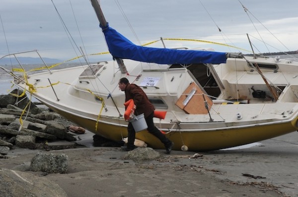
On March 11, the entire West Coast was placed on a tsunami warning, although most of the damage occurred in a small number of locations, such as Santa Cruz. The radars could be used to develop more specific and accurate warnings, according to Real.
Shortlink: